
تحذيرات من رياح شديدة في المدينة.. وتوقعات بأمطار رعدية على 13 منطقة – أخبار السعودية
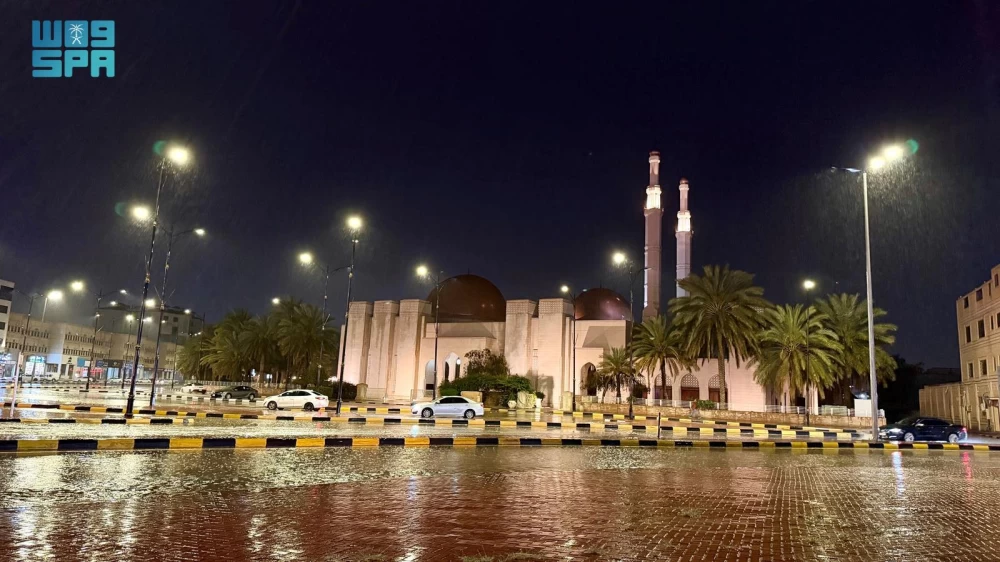
نبّه مركز الأرصاد في منطقة المدينة المنورة من هطول أمطار متوسطة، تشمل المدينة المنور يصاحبها رياح شديدة السرعة، وشبه انعدام في مدى الرؤية الأفقية، وتساقط البرد، وجريان السيول، وصواعق رعدية.
وبيّن أن الحالة تستمر حتى الساعة الـ8:00 مساءً، ودعا الجميع إلى توخّي الحيطة والحذر، واتباع تعليمات السلامة الصادرة من الجهات المختصة.
وتوقّع المركز الوطني للأرصاد في تقريره عن حالة الطقس لهذا اليوم استمرار هطول أمطار رعدية متوسطة إلى غزيرة تؤدي إلى جريان السيول مصحوبة بزخات من البرد على أجزاء من مناطق الشرقية، والحدود الشمالية، والجوف، وحائل، والقصيم، والرياض، والمدينة المنورة، ومكة المكرمة، والباحة، وعسير، وجازان، في حين يستمر تأثير الرياح النشطة المثيرة للأتربة والغبار على أجزاء من تلك المناطق، وكذلك على أجزاء من منطقتي تبوك والجوف.
وتكون الرياح السطحية في البحر الأحمر غربية إلى شمالية غربية على الجزء الشمالي والأوسط، وجنوبية شرقية إلى جنوبية غربية على الجزء الجنوبي بسرعة (13 – 25) كم/ساعة، وارتفاع الموج من نصف المتر إلى متر، وحالة البحر خفيف الموج.
وفي الخليج العربي تكون الرياح السطحية شمالية غربية إلى شمالية بسرعة (16 – 32) كم/ساعة تصل إلى أكثر من (50) كم/ساعة مع تكون السحب الرعدية الممطرة، وارتفاع الموج من نصف المتر إلى متر ونصف يصل إلى أعلى من مترين مع تكون السحب الرعدية الممطرة، كما نبّه «الأرصاد» من هطول أمطار متوسطة على منطقة جازان، تصاحبها رياح نشطة تؤدي إلى تدنٍّ في مدى الرؤية الأفقية، وتساقط البرد، وجريان السيول، وصواعق رعدية على محافظات الحرث، والدائر بني مالك، والريث، والعارضة، والعيدابي، وفيفا، وهروب، وصبيا، وأبو عريش، وأحد المسارحة، والطوال، وصامطة، وضمد، ومركز الفطيحة وتستمر الحالة حتى الساعة الـ9:00 مساءً.
The Meteorological Center in the Medina region has warned of moderate rain, including in Medina, accompanied by strong winds, near-zero horizontal visibility, hail, flash floods, and thunderstorms.
It indicated that the condition will continue until 8:00 PM, urging everyone to exercise caution and follow safety instructions issued by the relevant authorities.
The National Center of Meteorology, in its weather report for today, predicted continued moderate to heavy thunderstorms leading to flash floods, accompanied by hail showers in parts of the Eastern Region, Northern Borders, Al-Jawf, Ha’il, Al-Qassim, Riyadh, Medina, Mecca, Al-Baha, Asir, and Jazan. Meanwhile, the impact of active winds stirring up dust and sand will continue in parts of those areas, as well as in parts of the Tabuk and Al-Jawf regions.
Surface winds in the Red Sea will be westerly to northwesterly in the northern and central parts, and southeasterly to southwesterly in the southern part at speeds of (13 – 25) km/h, with wave heights ranging from half a meter to one meter, and the sea condition will be slightly wavy.
In the Arabian Gulf, surface winds will be northwesterly to northerly at speeds of (16 – 32) km/h, reaching over (50) km/h with the formation of thunderstorm clouds. Wave heights will range from half a meter to one and a half meters, exceeding two meters with the formation of thunderstorm clouds. The Meteorological Center also warned of moderate rain in the Jazan region, accompanied by active winds leading to reduced horizontal visibility, hail, flash floods, and thunderstorms in the governorates of Al-Harth, Al-Dayer Bani Malik, Al-Rith, Al-Ardah, Al-Eidabi, Faifa, Haroub, Sabya, Abu Arish, Ahad Al-Masarhah, Al-Tawal, Samta, and Dhamad, and the Al-Fatihah Center, with the condition continuing until 9:00 PM.
للمزيد من المقالات
اضغط هنا